
Walk a Pinellas Park Street
Begin with the Pinellas County Property Appraiser Quick Search. A street name can return parcels in a consistent list, especially when the official abbreviated suffix is used. The result concerns parcels and owners, not every person who lives there. Exporting rows keeps a long street in order and prevents a corner lot or common-area parcel from being counted twice.
Then move from the current roll to maps, deeds, and dated address records. Each source answers a different question. A strong street directory result keeps those answers separate.
- Enter the street name with little extra text, then select the relevant parcels.
- Open each parcel in GIS and confirm its ID, site address, legal description, and city boundary.
- Follow the Last Deed or book and page to find the current transfer parties.
- Add voter information only through a lawful public-data channel, noting protected and unregistered people are absent.
- Check city permits and a dated criss-cross directory when the goal is occupancy, not ownership.
This flow moves from address to parcel, owner, deed chain, and time-stamped occupant evidence. It also exposes conflicts before they become false conclusions.
Pinellas Park Street Search Fields
The Property Appraiser offers Quick, Map, and Advanced Search. Quick Search accepts a full or partial street. Results can be printed or exported, and each row can lead to a map, plat, legal description, and last deed. County guidance recommends fewer terms when an exact address fails.
| Field | Input | Street Use | Limit |
|---|---|---|---|
| Address or Street Name | Text | One site or whole street | Suffix variants matter |
| Owner | Name | Other parcels held | Owner is not occupant |
| Parcel ID | Identifier | Hold one property steady | Not a household number |
| Sub/Condo | Development | Group a recorded plat | Common areas appear |
| OR Bk/Pg | Book/page | Connect to Clerk record | Processing may lag |
Results include owner, distance, parcel number, site address, tax district, use, legal, last deed, map, plat, and subdivision. Those fields make the official roll more useful than a bare address list.
Property search help explains address and prior-owner methods. The official screen below preserves that help surface.
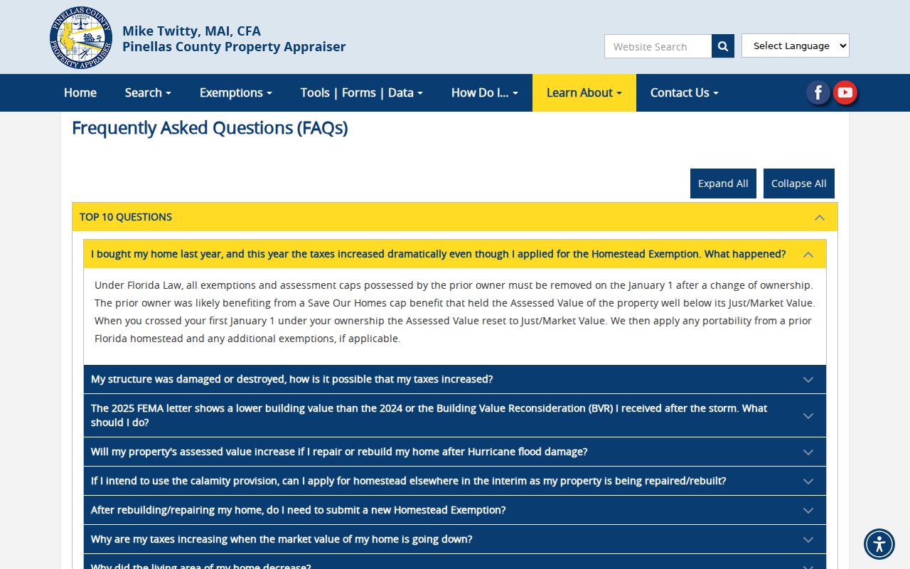
The tips matter when an abbreviated suffix, unit, or long road causes an empty result.
Map Pinellas Park Street Parcels
The Property Appraiser Parcel Viewer accepts owner, address, or parcel ID. It highlights sales by year, measures distance or area, prints maps, and switches among aerial and parcel styles. Clicking another polygon changes the active detail. Confirm the parcel ID after each click so an owner from the prior popup is not assigned to the next address.
The selected boundary shows a tax parcel, not a survey. Roads, alleys, flag lots, corners, and condominium land complicate a street count. The map can define a segment between cross streets, but cannot prove title, zoning, permitted work, or occupancy.
Open the official parcel GIS before reviewing its captured screen.
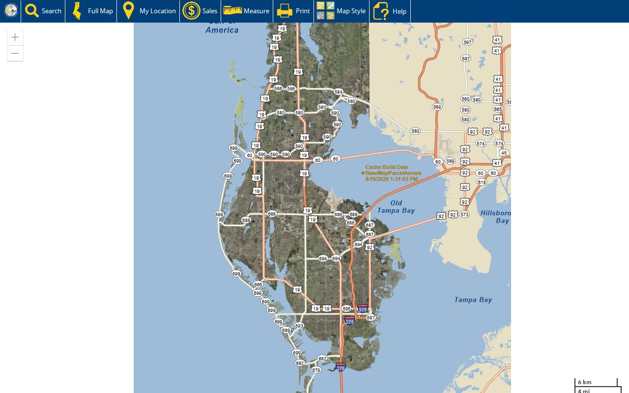
Use the map to navigate, then use the instrument and legal description for title facts.
Pinellas Park Address Differences
A situs address is a parcel's physical location. A mailing address is where the owner receives tax notices. They may match, but neither arrangement proves who lives at the site.
- Parcel
- A mapped unit of land with a county assessment identifier.
- Situs address
- The land's physical address, separate from its tax-mail destination.
- Plat
- A recorded map dividing land into lots, blocks, streets, or common tracts.
- Criss-cross directory
- A directory arranged by street and number instead of only by personal name.
Homestead status supports a claimed primary home, yet does not list spouses, children, roommates, guests, or renters. The Pinellas Park street directory must label owner evidence honestly.
Protected-record guidance explains why a name or book-page reference may be withheld while parcel and building facts remain visible.
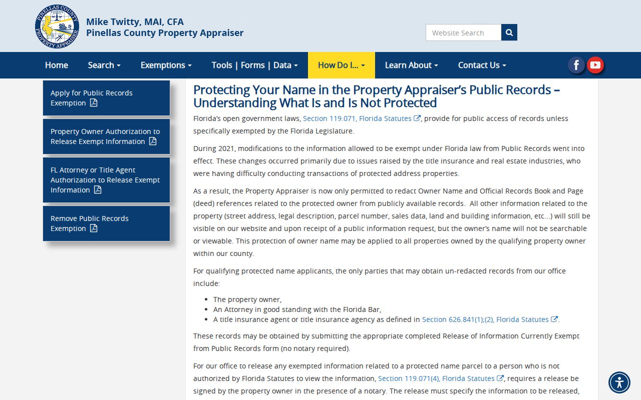
Never attempt to defeat a safety exemption through another database.
Pinellas Park Records by Address
No custodian keeps a complete Pinellas Park street directory. The county holds property and deeds, the city holds permits and annexations, and election staff control public voter data.
| Record | Keeper | Evidence | Access |
|---|---|---|---|
| Property roll | Property Appraiser | Owner, situs, mailing, parcel, legal, deed | Web, export, phone, office |
| Parcel GIS | County/city GIS | Parcels, address points, boundaries | Free viewers |
| Official records | County Clerk | Deeds, liens, mortgages, plats, parties | Index, counter, copies |
| Permits | Building Development | Application and inspection chronology | Portal, email, phone, request |
| Voter data | Supervisor of Elections | Public registration fields | Data order or office |
| Old directories | Libraries/archives | Dated occupant, business, phone | Catalog, film, in person |
Chain records with parcel ID, legal, plat, and official-record book and page. Street strings change. Legal references provide firmer continuity.
Follow Pinellas Park Deed Links
The Last Deed link bridges a tax row to the Clerk Official Records portal. Record each party's role, dates, instrument number, consideration, and legal description. A grantor transfers an interest; a grantee receives it.
For an earlier owner, search the seller as a prior grantee and require the same lot, block, subdivision, or legal. Repeat backward. Acclaim begins in 1912. Earlier title evidence may be in Hillsborough County because Pinellas County had not yet formed.
Best shortcut. Keep the legal description fixed while names and street forms change; it is the strongest continuity check.
Recent deeds can take about two weeks to reach the Clerk site and roughly two more weeks to reach the appraisal roll. Check the Clerk first after a recent transfer. Call 727-464-7000 or use the counter for older, certified, or poorly indexed records.
Pinellas Park Permits by Street
The city permit system adds dated work history. Search by permit number, address, parcel number, permit type, or status. An applicant, contractor, or owner has a tie to the project, not automatic proof of residence.
Visit the permit search before comparing its captured interface.
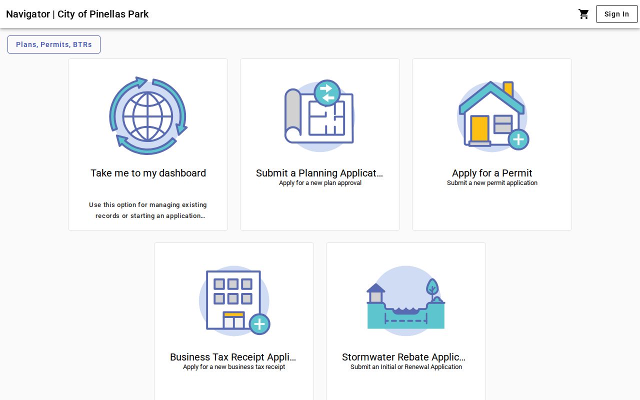
For missing applications or inspections, call 727-369-5647 or email permits@pinellaspark.gov. Building Development is at 6051 78th Avenue North and opens weekdays 8:00 a.m. to 4:30 p.m. The City Clerk is the Chapter 119 request fallback.
Pinellas Park Street Geography
A postal label does not settle jurisdiction. Pinellas Park's annexed boundary crosses several ZIP codes. The City Planning Viewer supplies City Boundary, Annexations, parcels, centerlines, Master Address Points, zoning, private roads, and unincorporated areas.
Annexation fields include ordinance, date, former zoning, acreage, parcel, and official-record reference. Compare the approval date to the event. A current city parcel may have been unincorporated when an older record was made.
Master Address Points split house number, direction, street name, type, unit, postal city, and ZIP. This helps normalize an old abbreviated road. No citywide renumbering year was verified, so prove changes parcel by parcel.
Note: Confirm municipality with mapped boundaries whenever a Pinellas Park mailing label conflicts with the parcel's legal jurisdiction.
Pinellas Park's 1977 Street Page
An unusual 1977 Polk sample places Pinellas Park streets inside an official St. Petersburg preservation packet. It prints street heading, city, starting point, direction, cross streets, house numbers, occupant or business names, telephone numbers, and geographic notes.
This street-first format is the historical counterpart to a modern by-address search. It captures publisher-surveyed occupancy on one date, not ownership or every household member. Pair a listing with deeds, census, newspapers, probate, or obituaries before extending it to another year. The full shelf belongs to the Pinellas Park city directory collections.
Pinellas Park Street Records Offline
Online searches fail through spelling, indexing, redaction, image limits, or age. The Property Appraiser contact office answers parcel questions at 727-464-3207, weekdays 8:00 a.m. to 5:00 p.m. The nearest office is 13025 Starkey Road in Largo.
Review the official contact routes with the captured screen below.
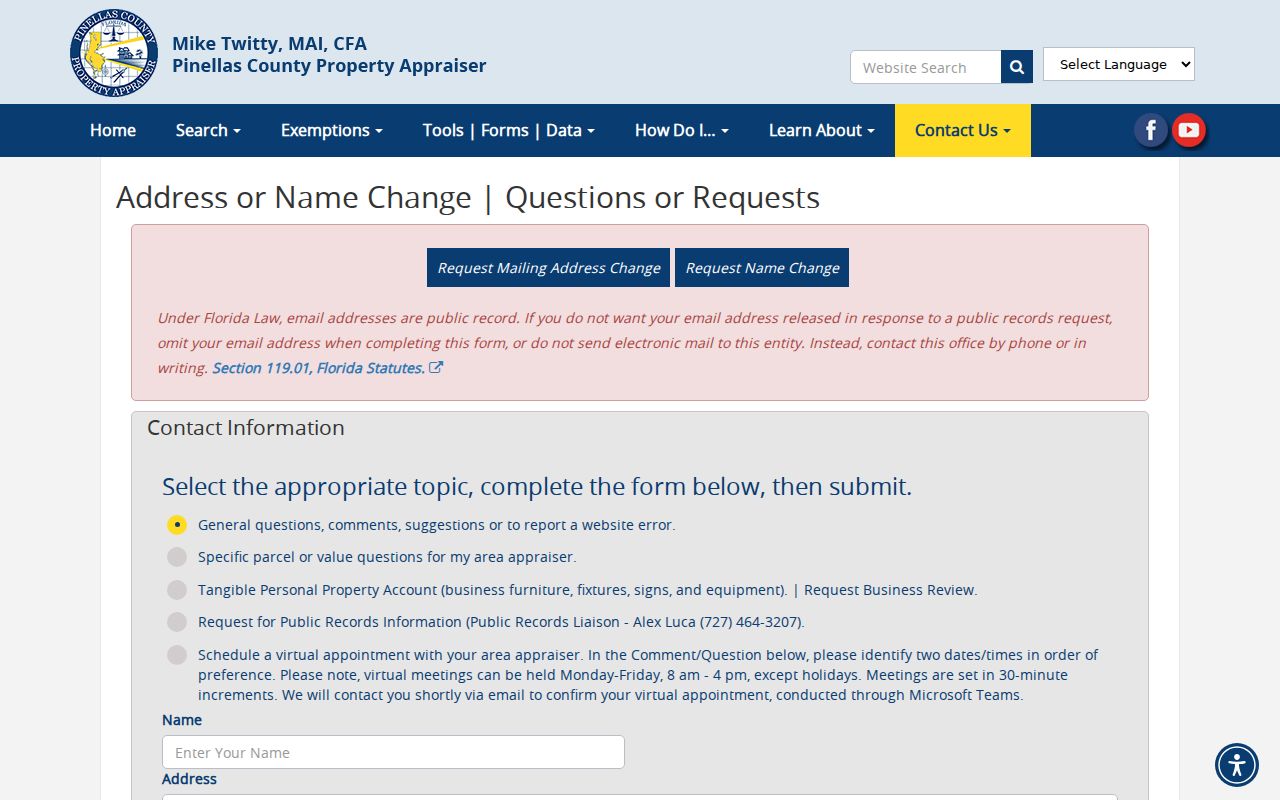
The Clerk counter at 315 Court Street provides terminal, image, and certified-copy help. Barbara S. Ponce Library, the Pinellas Genealogy Society, and Heritage Village cover older directories. These access routes are essential when the web trail stops.
Pinellas Park Street Directory Limits
Property records identify title and tax-mail destinations. They omit many occupants. Public voter data omit nonvoters and protected people. Utility and customer files remain private. Permits name roles in work, not necessarily residents.
A negative result proves only that those criteria found no visible match at that time. Try fewer street terms, a parcel ID, legal description, map click, prior owner, counter request, or old directory. Address forms can also differ. A directional may move before or after the street name, a suffix may be cut short, and a unit may sit in its own field. The Master Address Point layer keeps these parts separate. Compare the parsed number, direction, name, type, unit, postal city, and ZIP before deciding two entries concern different places.
Time changes the answer as well. The tax roll is current to its update cycle. A deed records a transfer date. A permit records an application or inspection event. Voter data reflect the election office's file schedule. A Polk listing represents a publisher's survey in one edition. State the date beside every name. Do not merge a current owner, a past directory occupant, and a permit contractor into one household merely because all three records share a street address.
City borders add one more check. Pinellas Park's irregular annexations cross postal ZIPs, while some mail labeled Pinellas Park can fall outside municipal limits. Use the City Boundary and Annexations layers to decide which government kept an address record at the time in question. An annexation polygon can supply its ordinance, approval date, former zoning, acreage, parcel, and official-record reference. That dated evidence is more reliable than a current postal label.
Protected records deserve restraint. Under Florida exemptions, a qualifying parcel owner's name and deed reference may be removed from the public property display even though the street address, parcel number, sales, legal, land, and building fields remain. Do not use adjacent parcels, voter data, or another index to work around that safety protection. Record the visible facts and stop at the boundary the custodian has set.
Lawful use. Use Pinellas Park address records for personal research, property history, genealogy, or civic understanding. Never stalk, harass, threaten, or defeat a safety protection.
A sound street directory preserves uncertainty. Label owners as owners, voters as registered voters, permit parties by role, and old directory names as dated listings. Keep citations or record numbers with notes so another reader can repeat the search and see the same limits.